Boaters Lifeline was created for a few good reasons . . .
. . . a love for friends, family, and the lake.


History timeline of
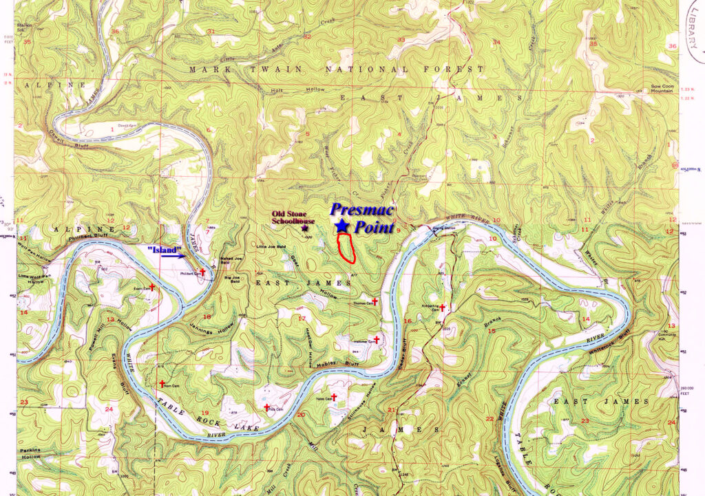
Presmac Point
Circa 1957 – The White River lakes project is well under way and Table Rock Dam is nearing completion. The Corp of Engineers have all survey monuments in place, outlining the proposed shoreline for Table Rock Lake.
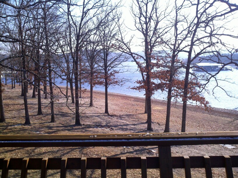
1957 – Many old family cemeteries had to be relocated before the dam could be closed. In the East James area alone (see map), seven cemeteries were moved and consolidated. Among these were Thomas, Hammer, Yates, Pitts, Horn, Evans, and the Philibert Cemetery which was located near the intersection of the White and James River arms. You may know this spot as the “island” which becomes visible when the lake level falls below 914 feet. Otherwise, a lone Danger Buoy is anchored just East of the island and about 800 feet Northwest of the old cemetery site. The Philibert, along with the other consolidated cemetaries. Is now located at the Hwy 13 & James River Rd, marking the entrance to the Joe Bald area.
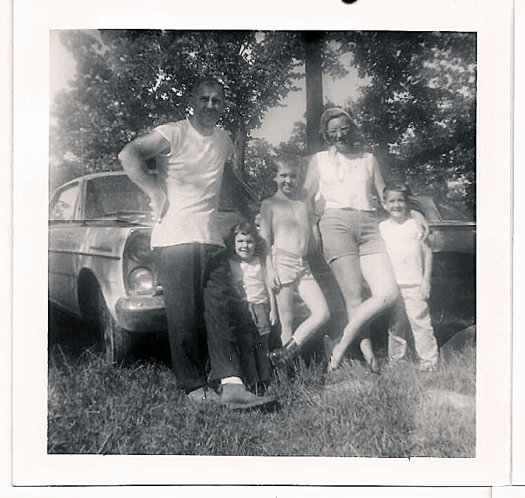
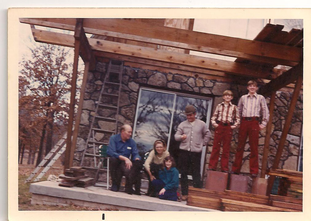
1958 – The Mac & Myrtle Presley family, consisting of their son Elmer Presley (and spouse Floie), three grandchildren, Jerry, Virginia, and Melvin (along with their spouses and growing list of great grandchildren), begin looking for a chunk of soon-to-be lakefront property suitable to establish a family compound.
The Turner Family, among many other native Ozarkians, had old homestead parcels for sale in and around the proposed lake area. Viewing property was accomplished by hiking many miles while using a 1957 US Army COE issued topographic map and Jack Turner as their guide.
1958 – A particular piece of Turner property located on Old Stone Road (not far from the Joe Bald Mountains) was selected to view. Upon walking the property (which was quite simply a dense wilderness), Elmer remarked, “Boys, this is the ground we want.” The 14 acre parcel was purchased and as the lake filled, the southern 7.5 acre section became surrounded by water, creating a footprint for the family legacy to thrive for many generations to come. It’s officially named “Presmac Point” – See Topo Map.
1959 – The knoll where Thomas Cemetery was located lies just South-Southeast of Presmac Point and remains an interesting topic for historical conversation and easily marked with a depth finder or graph. The large Maple tree at the site pierces the surface when the lake falls below 911 feet. It has also made for some rather convincing ghost stories for the kids, especially when the motor mysteriously dies when boating over the old site. *wink*
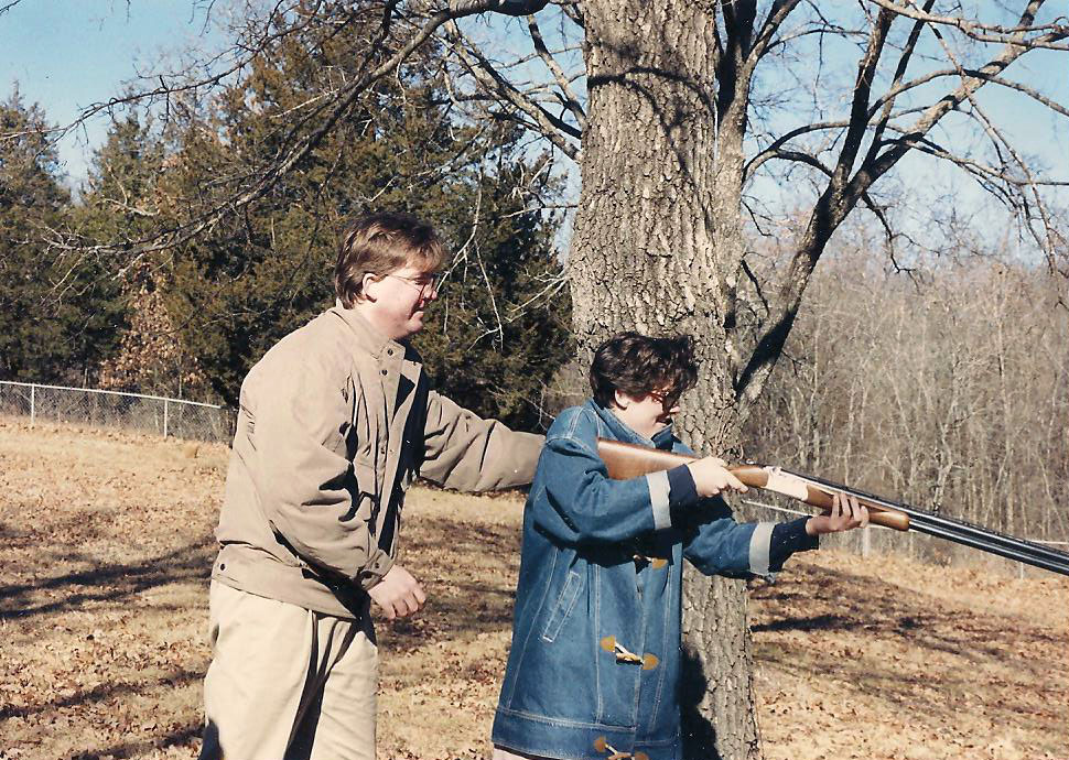
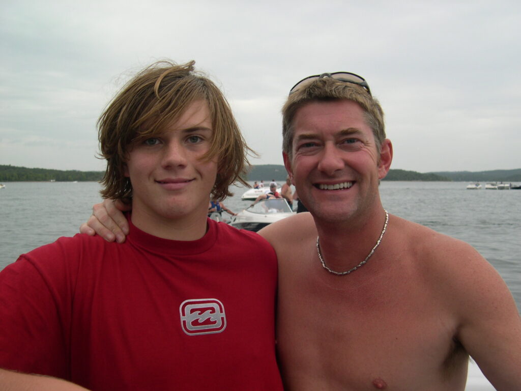
1961 – Jerry and Gayle Presley reluctantly give birth to the 2nd of 3 children, Brian Presley. Brother Kirk had a 2 year head start and sister Janine would complete us 3 years later. Contrary to popular belief, Brian was not born on a highway with a guitar in his hand. That’s just absurd. He was born in a hospital. The guitar was a 1961 Gibson Les Paul Standard. *LoL*
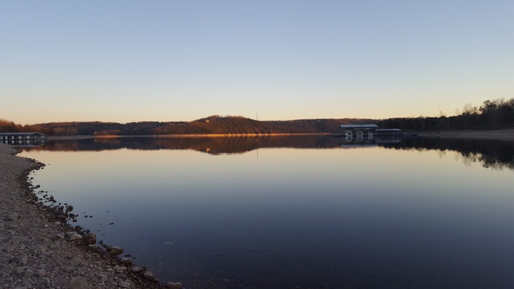
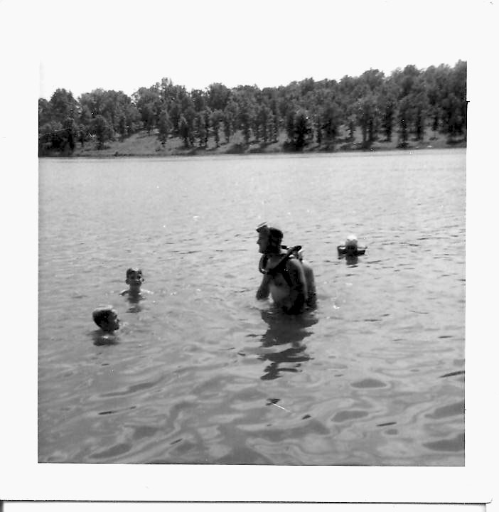
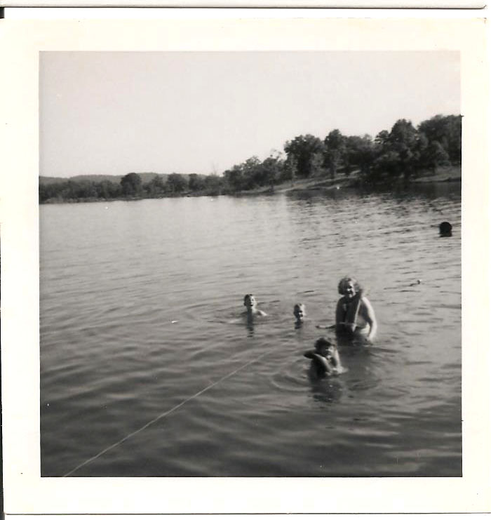
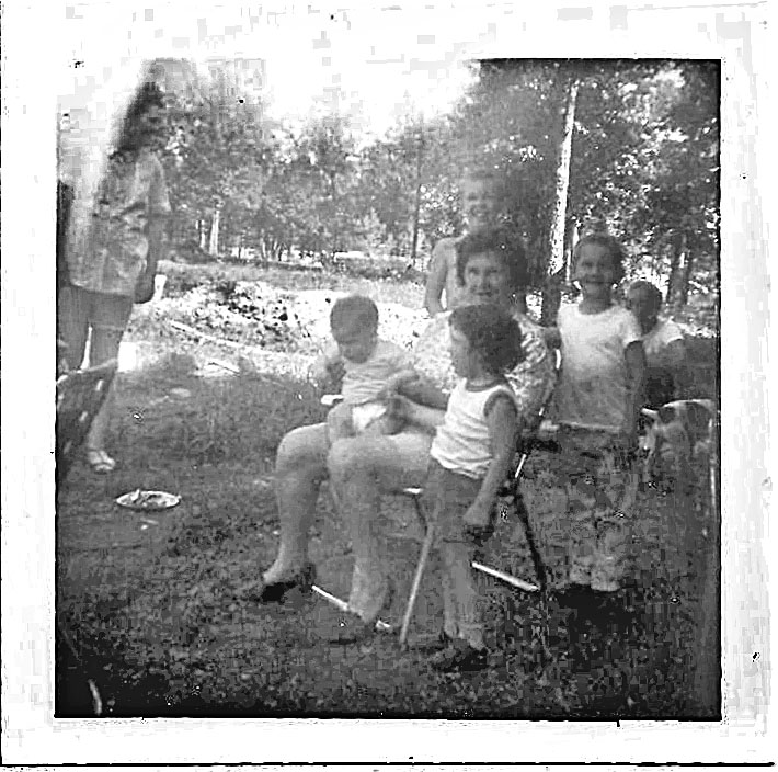
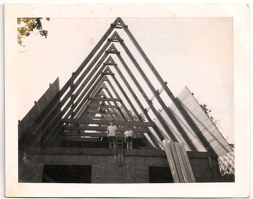
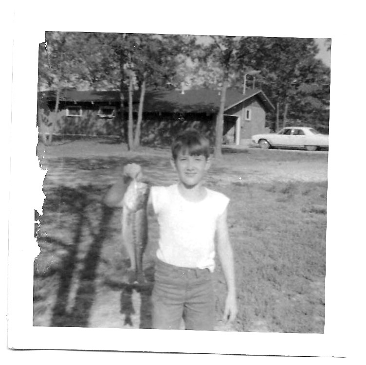
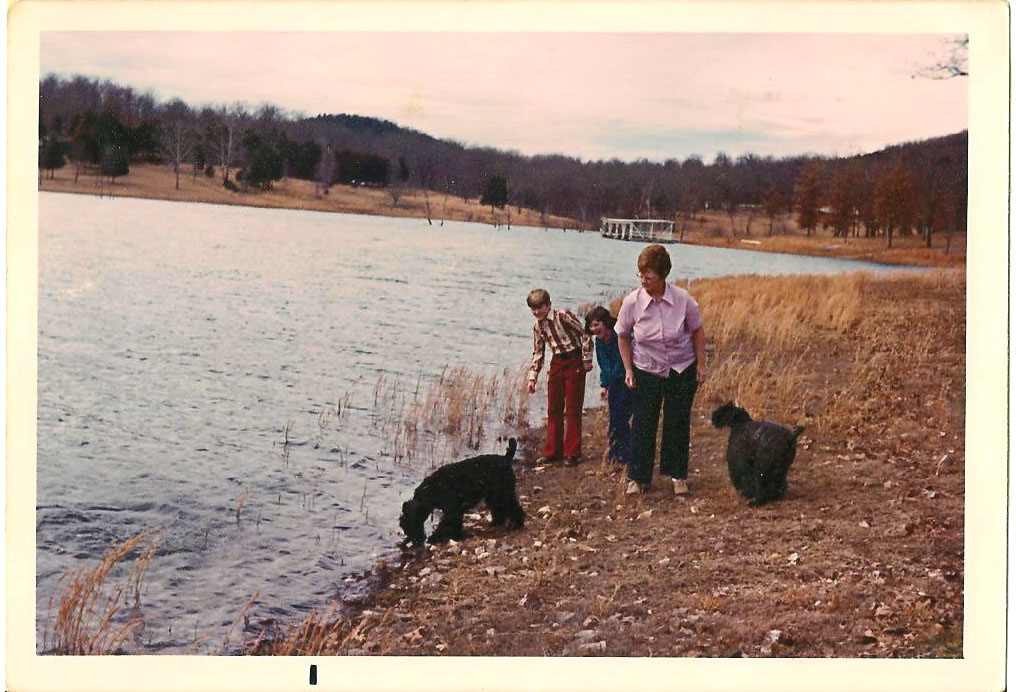
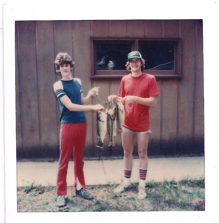
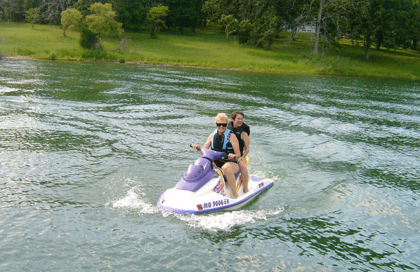
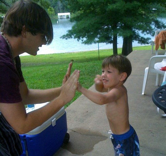
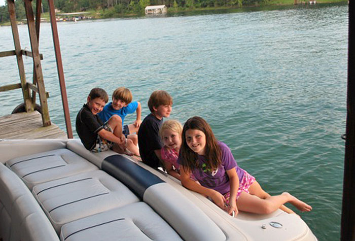
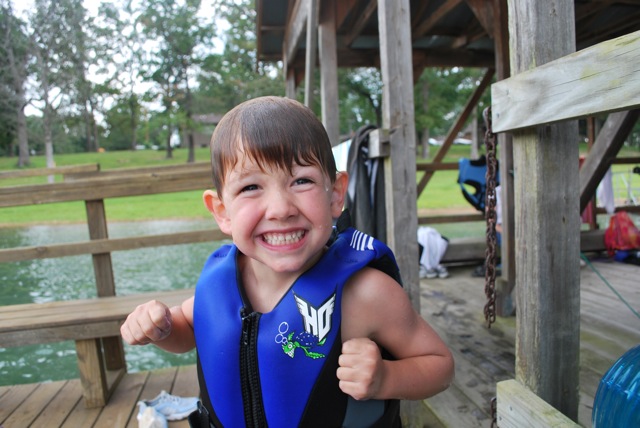
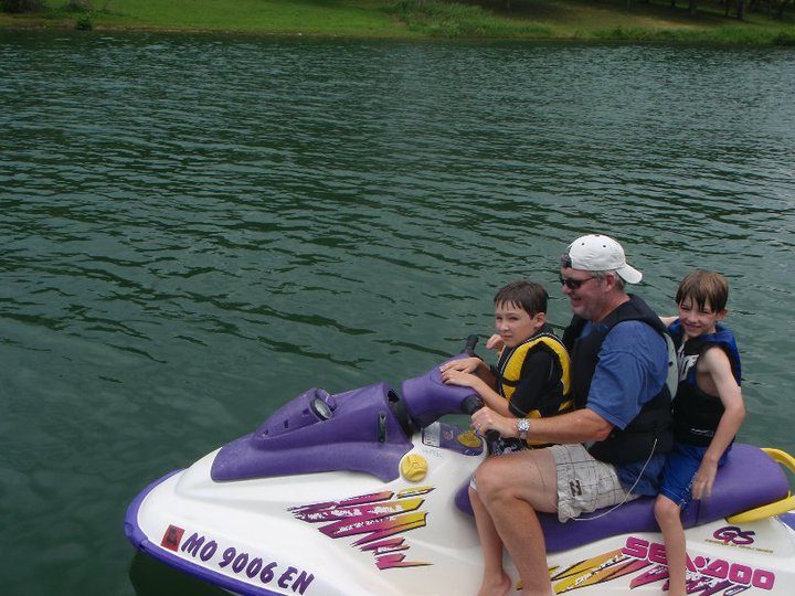
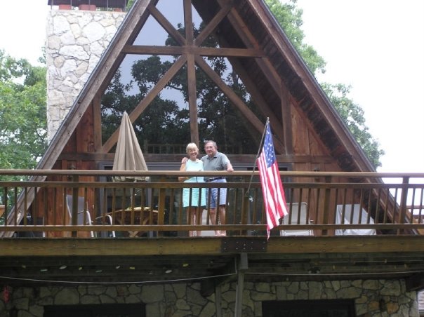
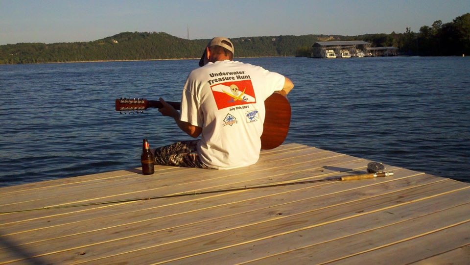
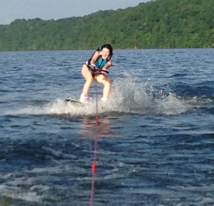
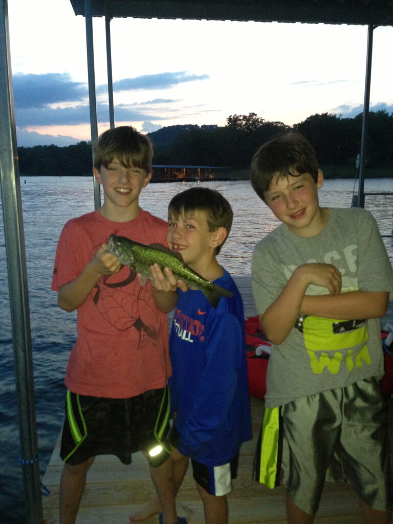
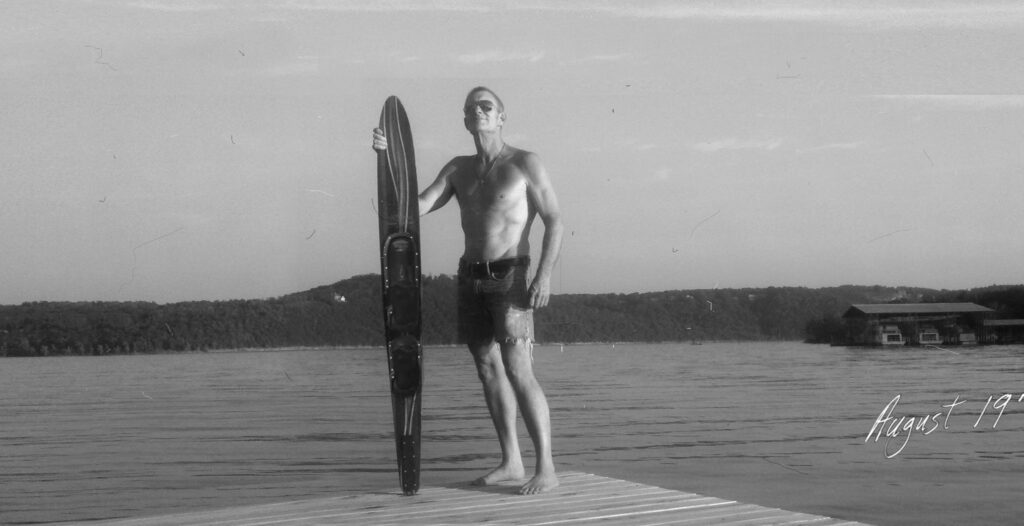
1961 to today – Much work goes into transforming a piece of Ozark property into usable ground. Many rocks were picked (by hand) and one-by-one, houses were built for each of the four families. Fortunately, break-time included a boat ride or slalom ski run. Spending time boating and playing on the water with the family are among the strongest and most blessed memories one could possess. Boating is a ticket to happiness and a powerful building block in creating a strong sense of family.
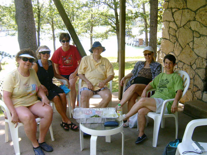
2019 to today – Brian exits recreational boat sales due to dealership operators de-emphasizing the value of the customer in their relentless pursuit of revenue. With over 25 years of meritorious sales and management achievement, Brian can prove there is nothing more important than the customer (just take a look at the Gallery Page and you’ll see what we mean). Boaters Lifeline is born with a clear focus on customer satisfaction and the goal of helping everyone achieve their boating lifestyle dreams. Living and working on the lake is a big plus too! But moreover, we’ve met hundreds of truly wonderful people along the way, and proud to call them friends.

Jump To